VA Bay Pines Health Care System
Clear Paths & Better Outcomes at
C. W. Bill Young VA Medical Center
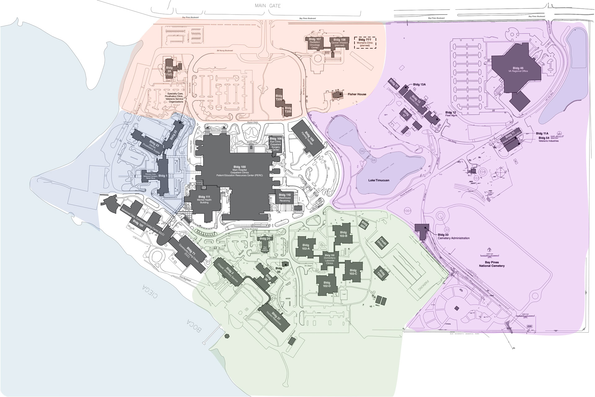
Situated on the Gulf Coast just west of St. Petersburg, VA Bay Pines is one of the largest and most scenic medical campuses in the Veterans Health Administration. Serving nearly 4,000 patients each day, the historic campus spans hundreds of acres and includes a complex network of buildings, roads, and pedestrian pathways.
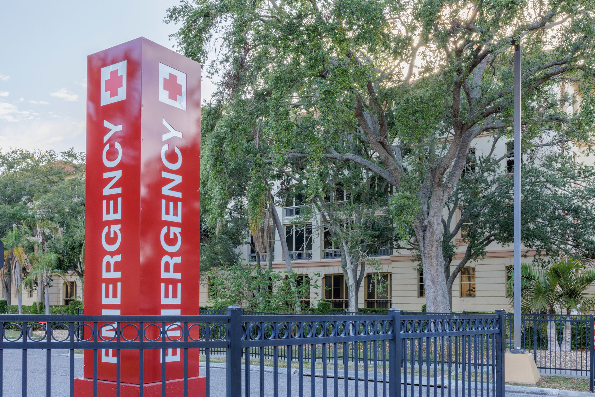
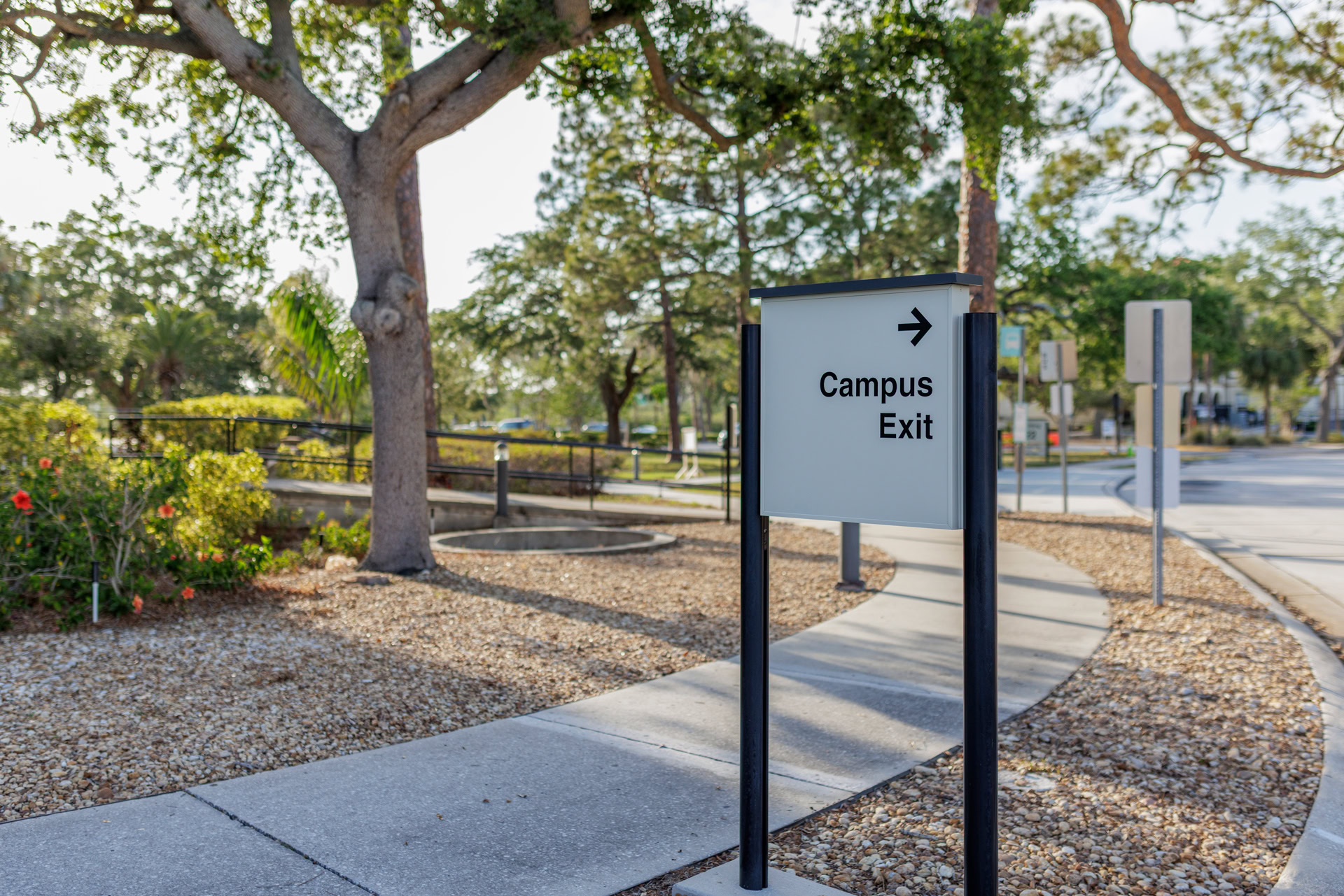
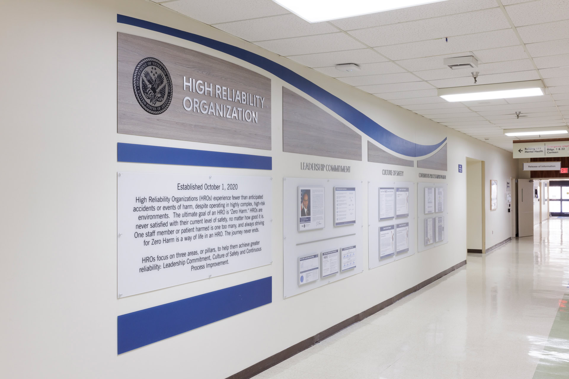
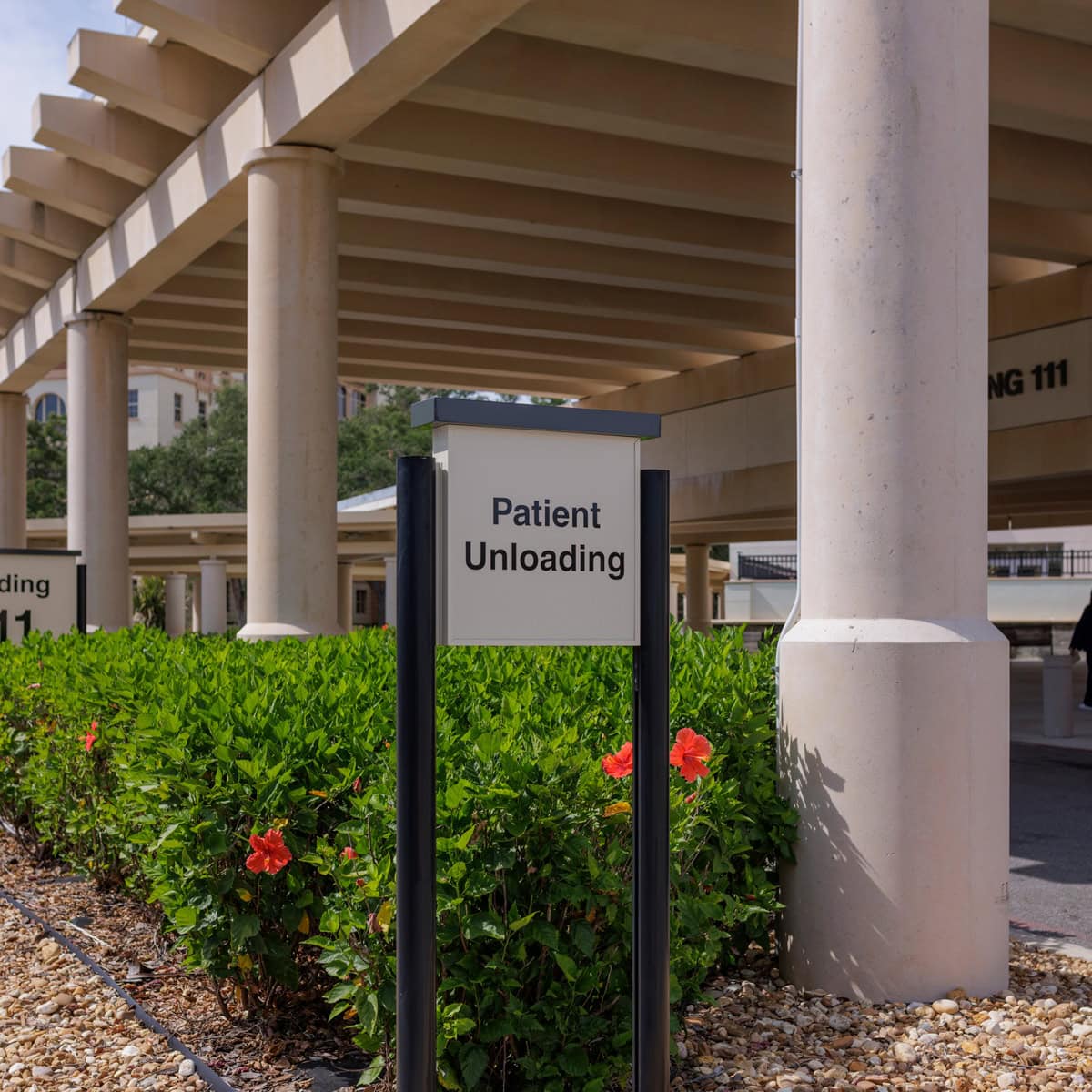
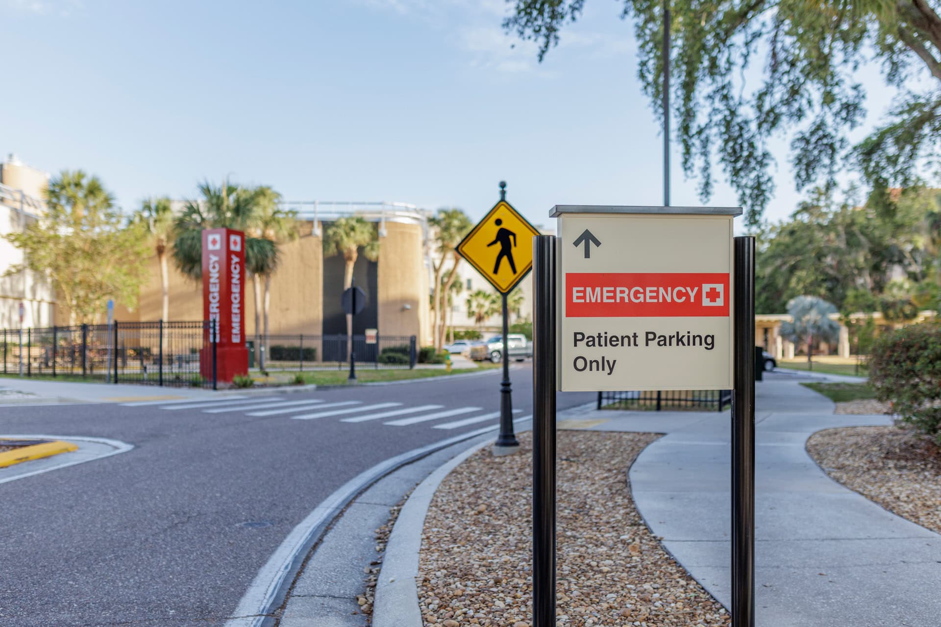
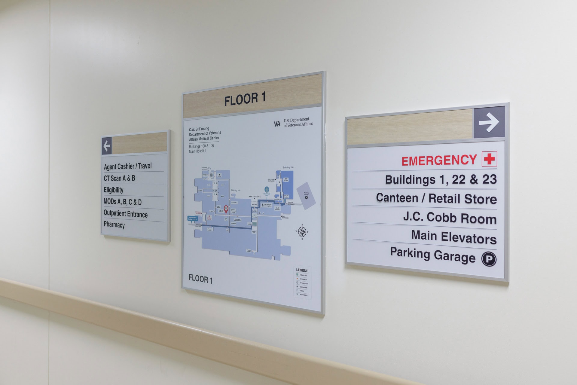
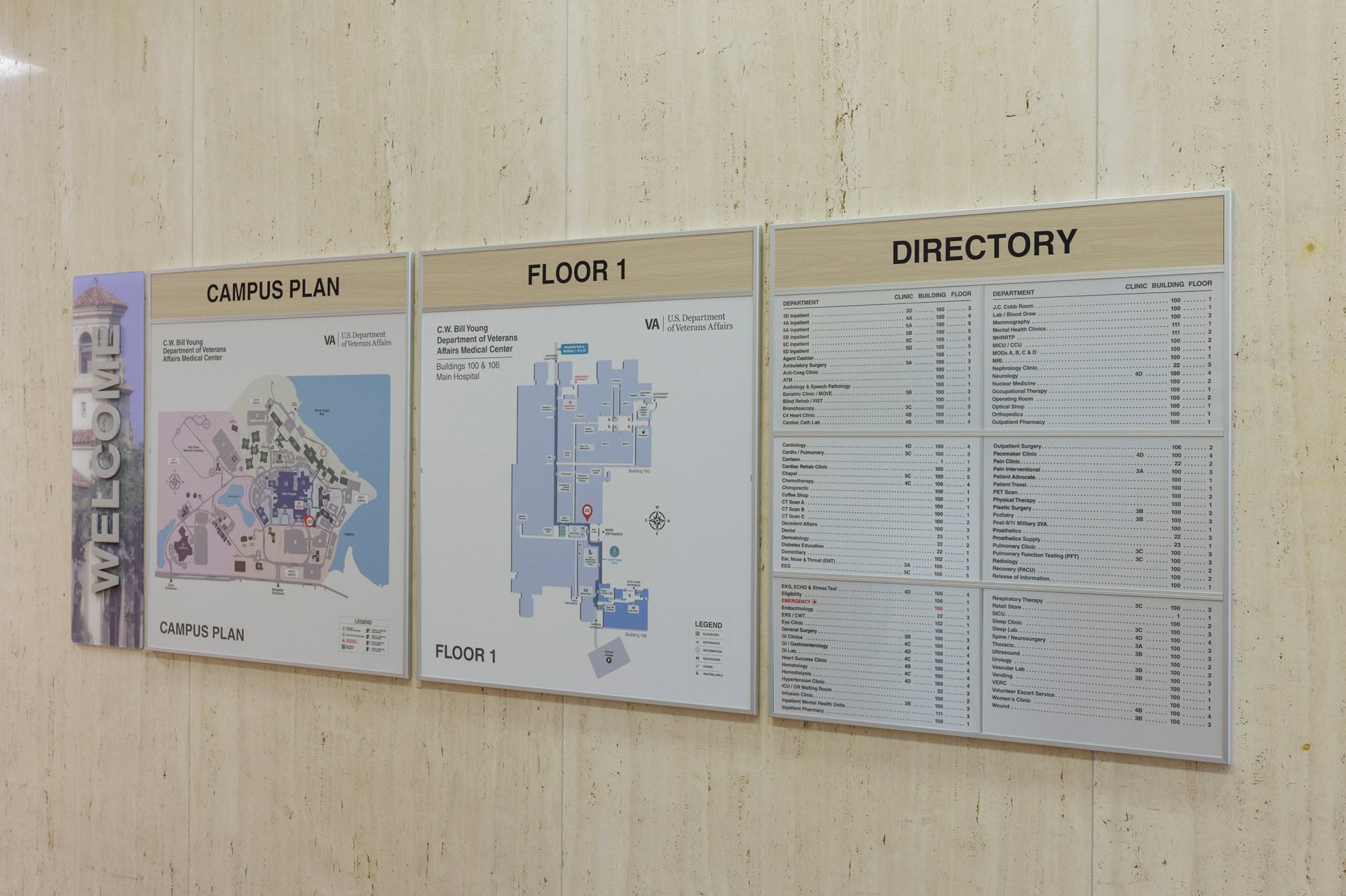
The campus' sign system had reached the end of its lifecycle where simple maintenance and replacements were no longer effective. In addition, operational transitions were taking place, one of which would move primary care out of the Main Hospital to another building. To support accessibility, safety, and a seamless patient experience, a comprehensive wayfinding overhaul was undertaken—enhancing everything from emergency signage to branded patient routes, campus and hospital maps, and zone identification.
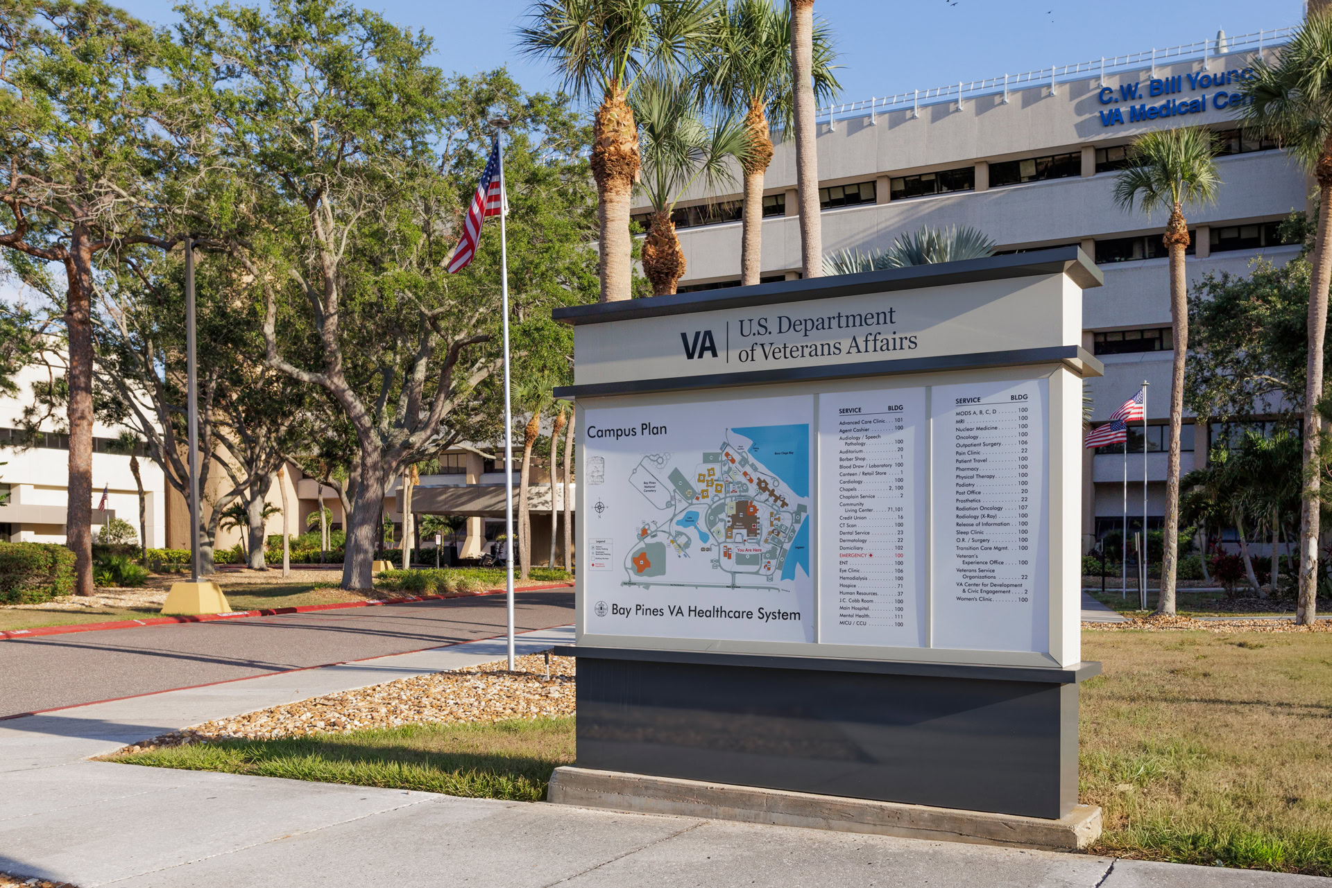
Campus Wayfinding Master Plan
Monumental Campus Entry Pylons
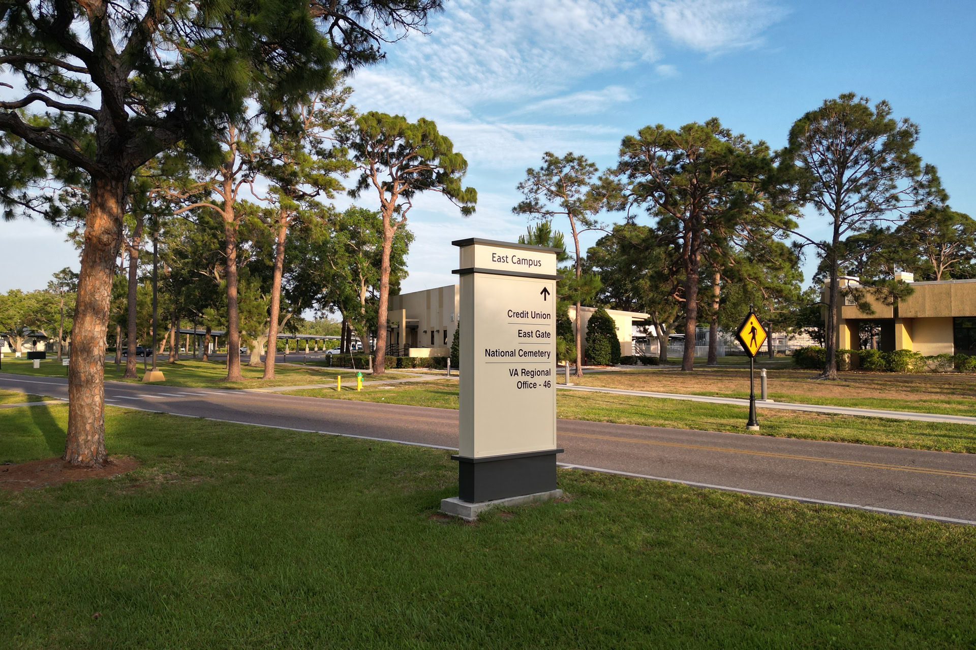
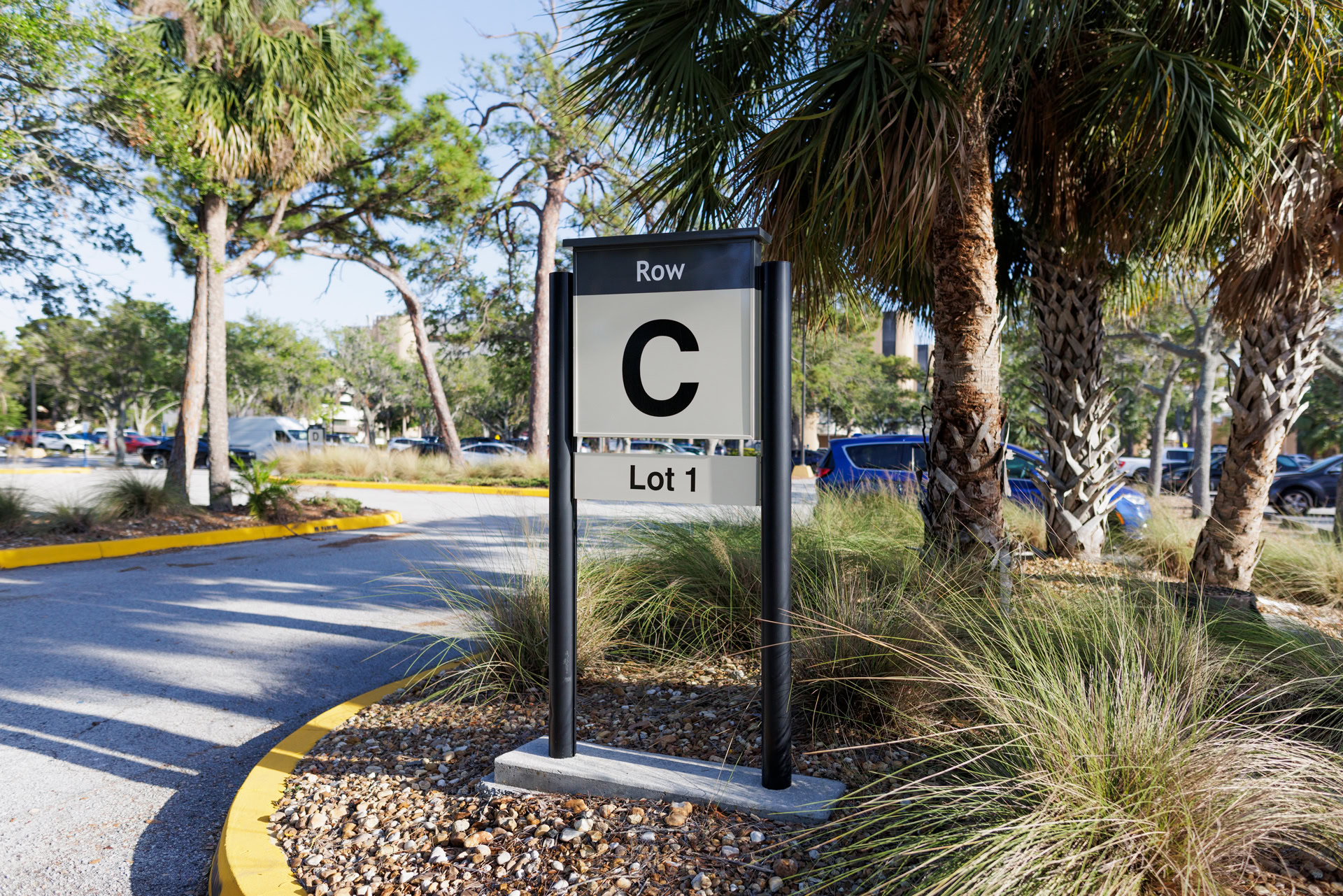
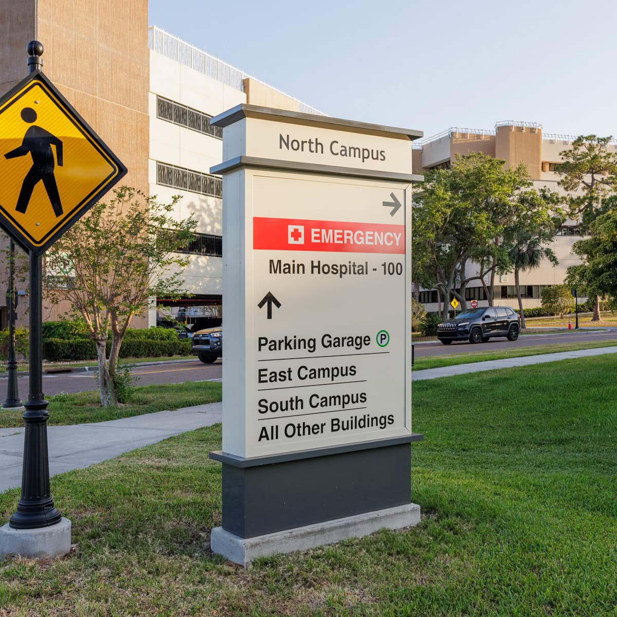
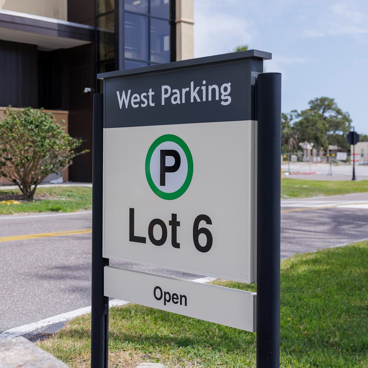
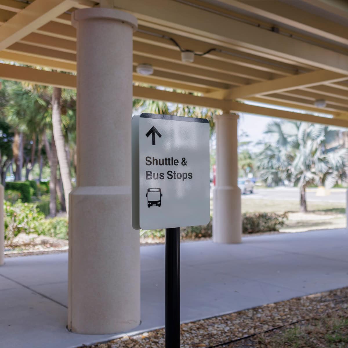
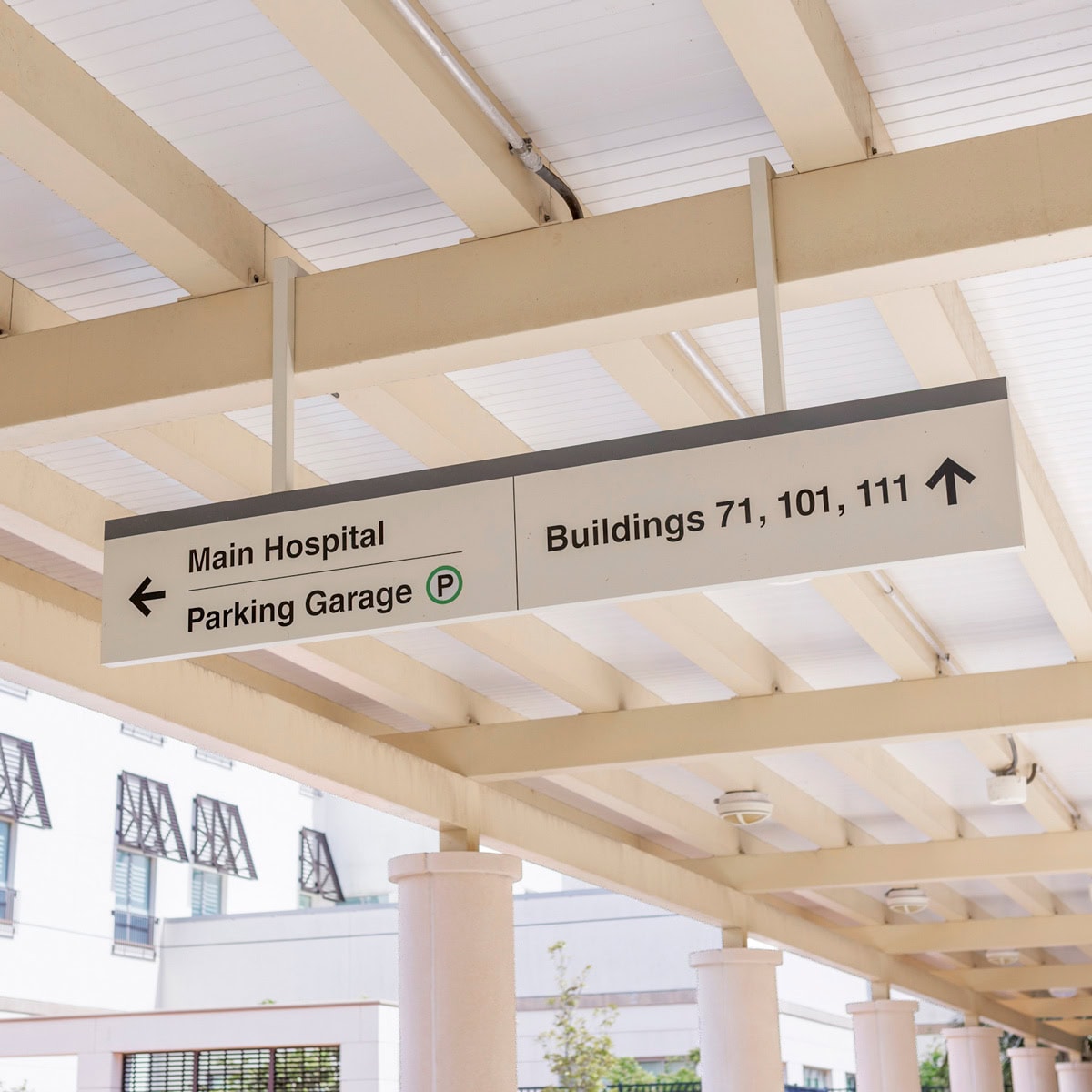
Vehicular & Pedestrian Signage Overhaul
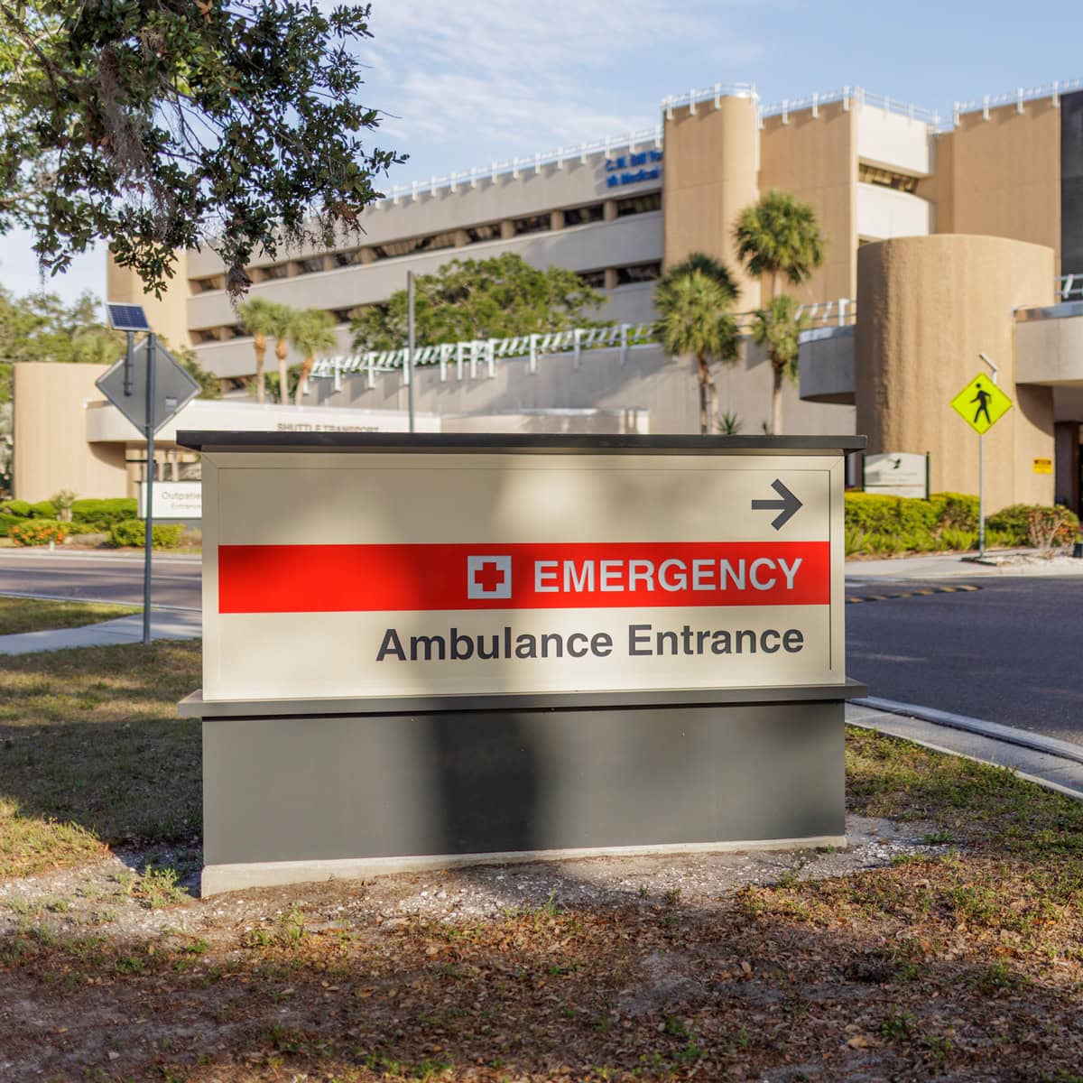
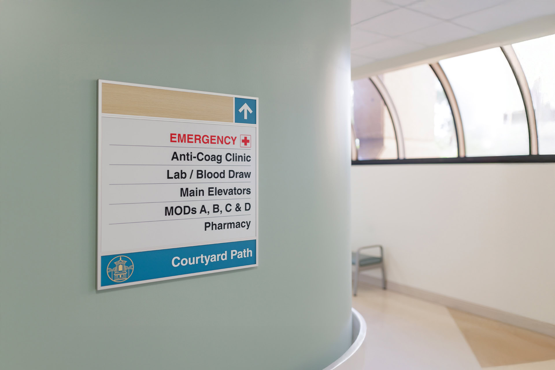
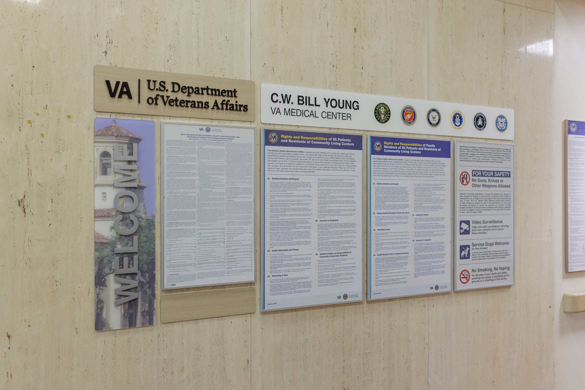
Enhanced Emergency Signage
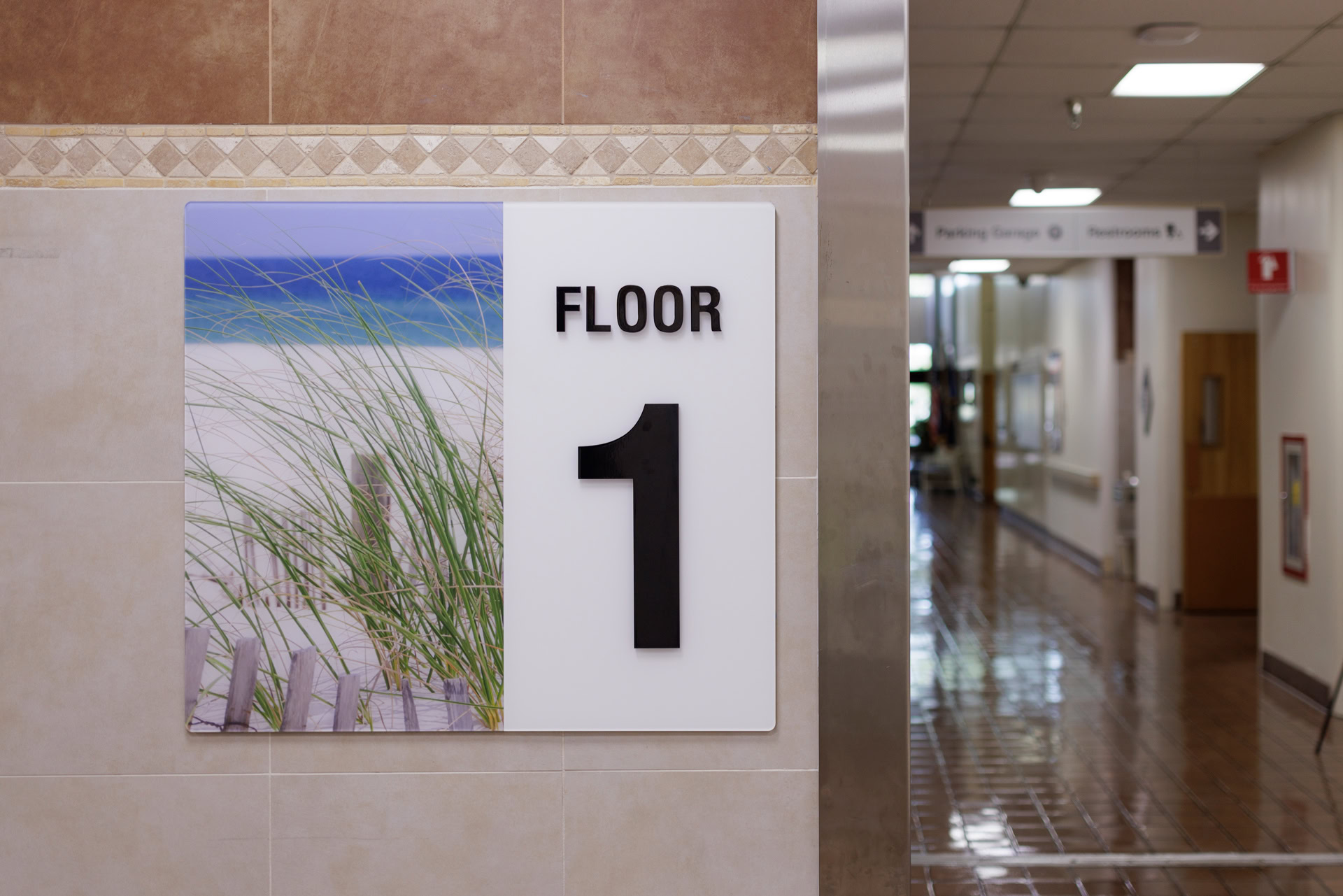
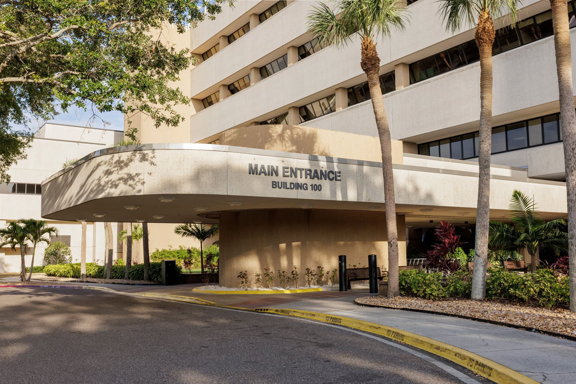
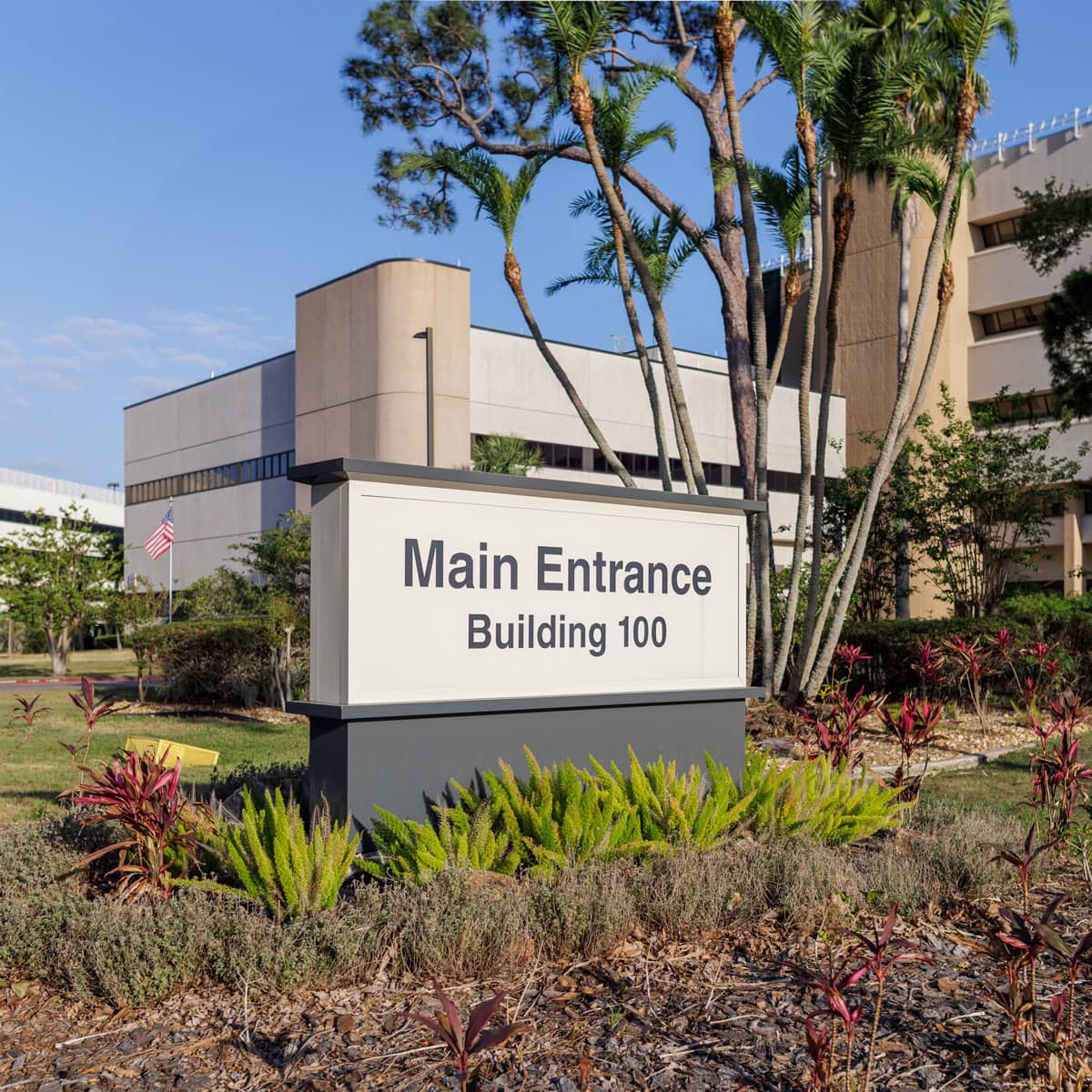
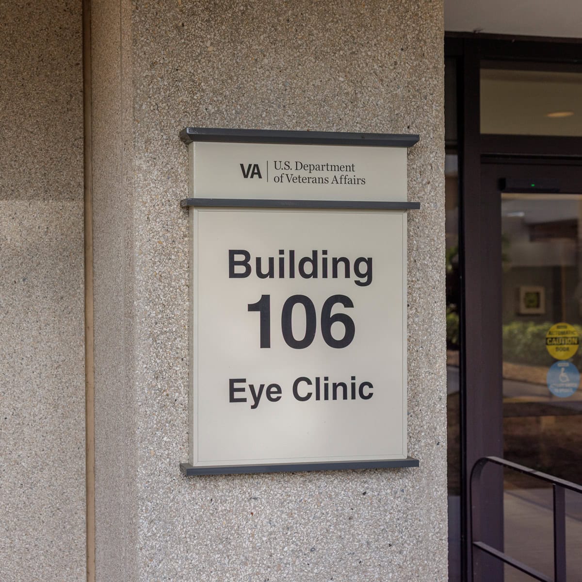
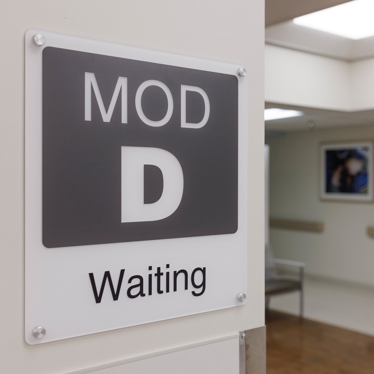
Identification of Buildings & Entrances
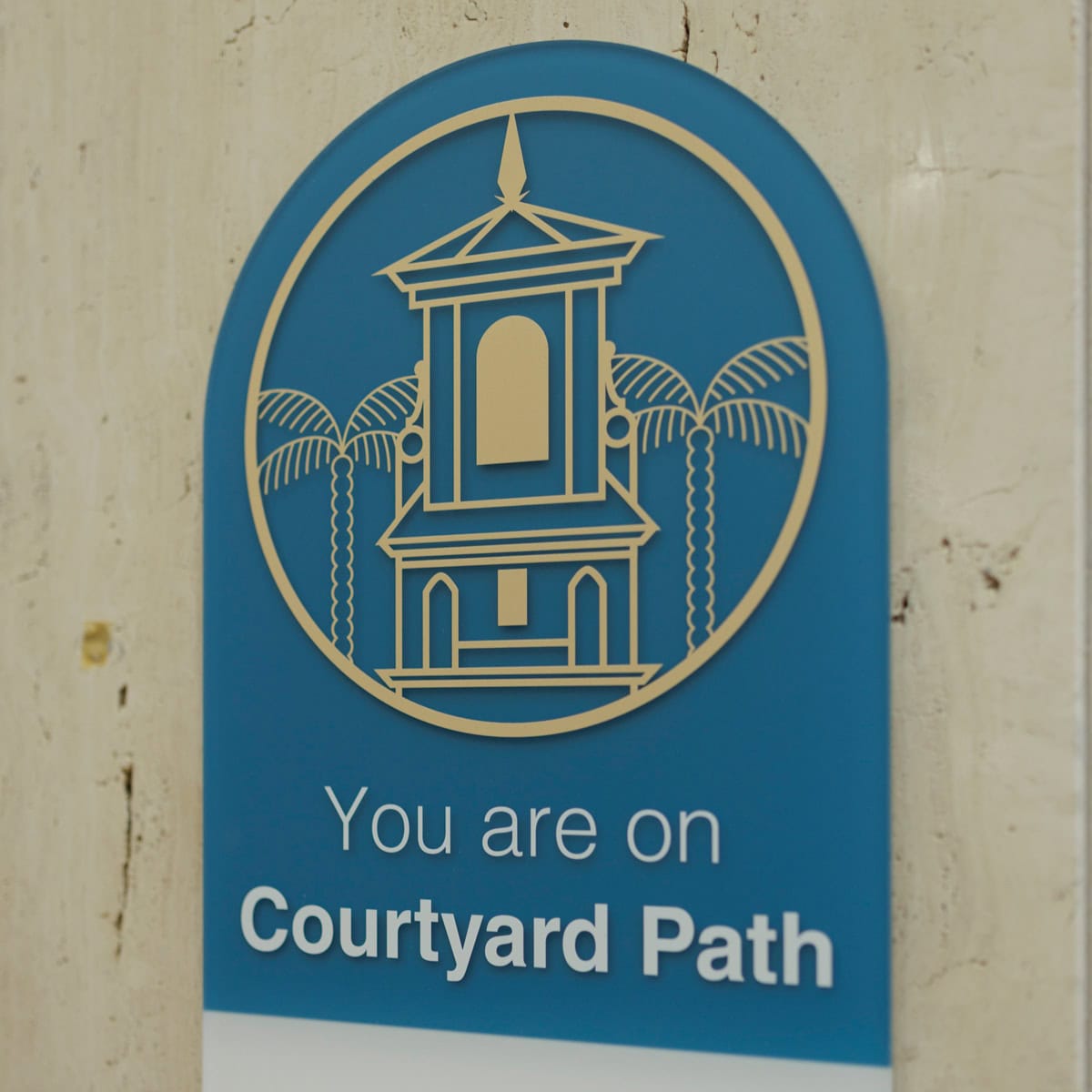
Main Hospital Primary Pathway
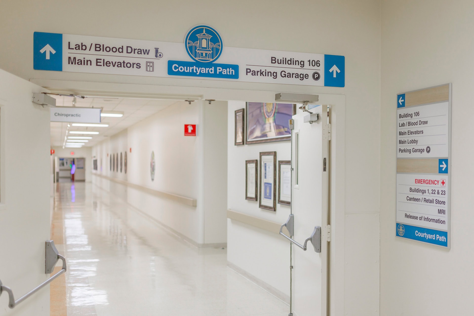
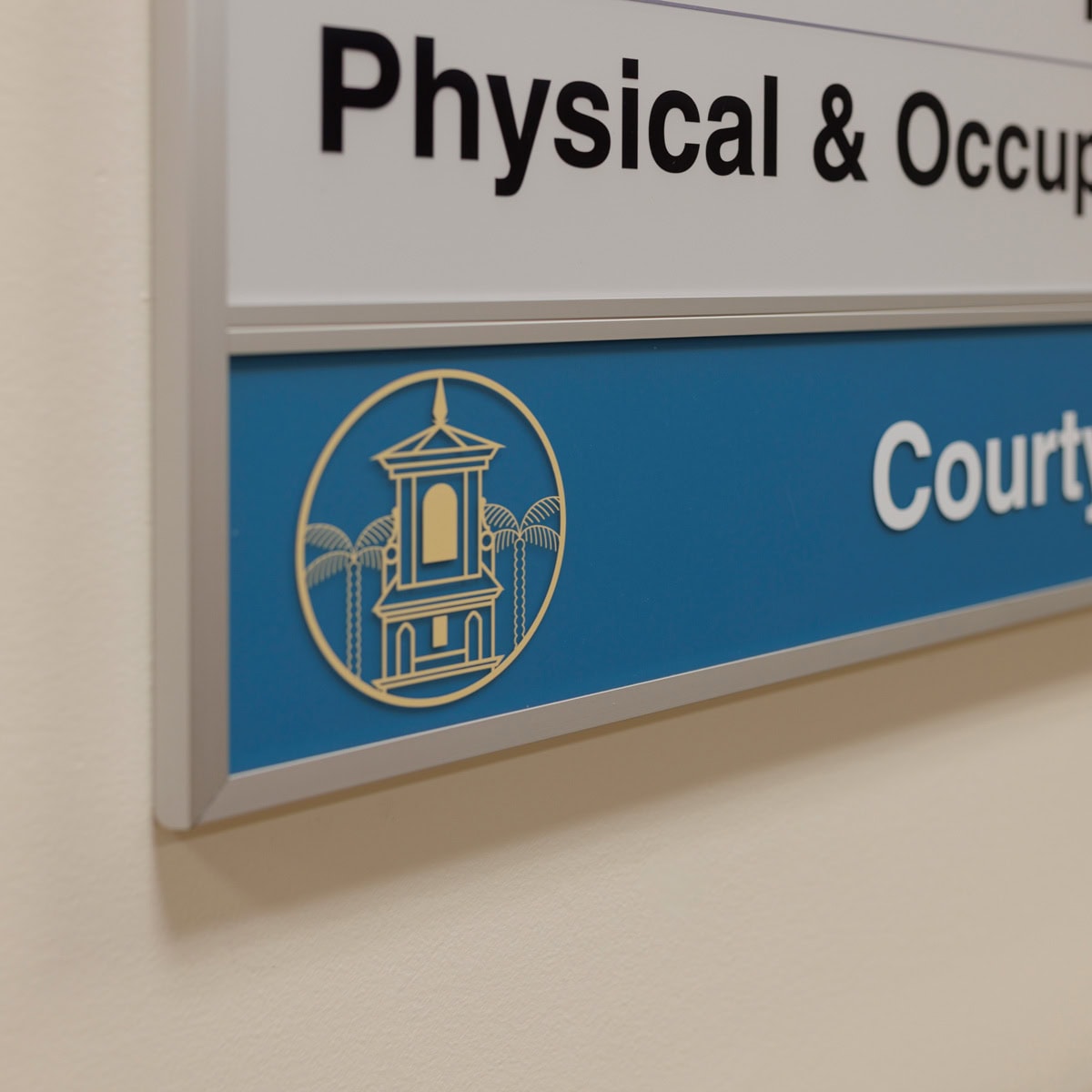
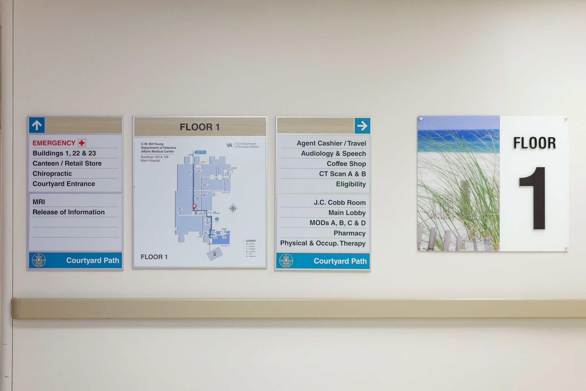
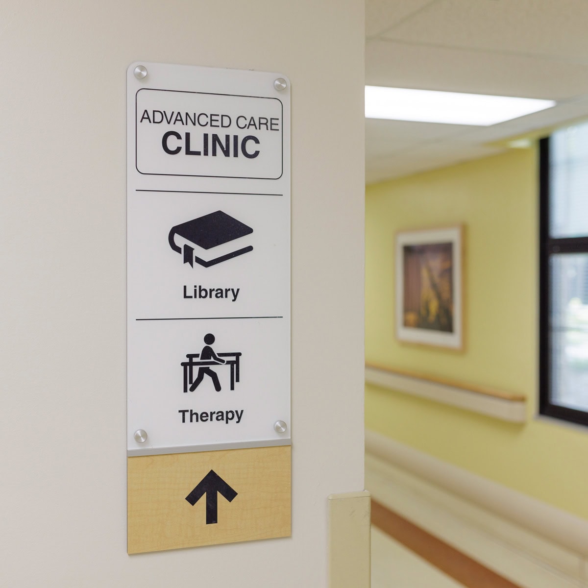
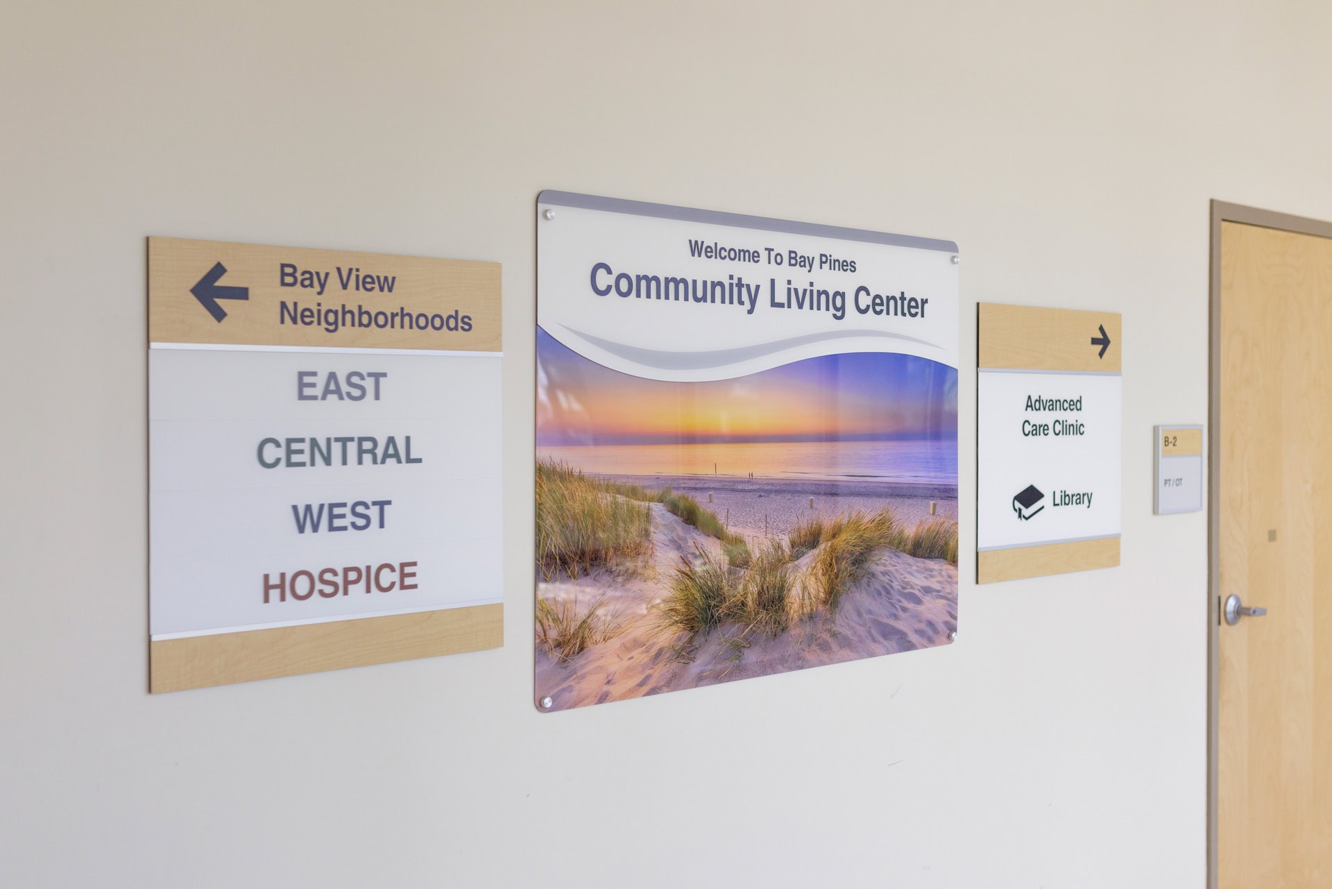
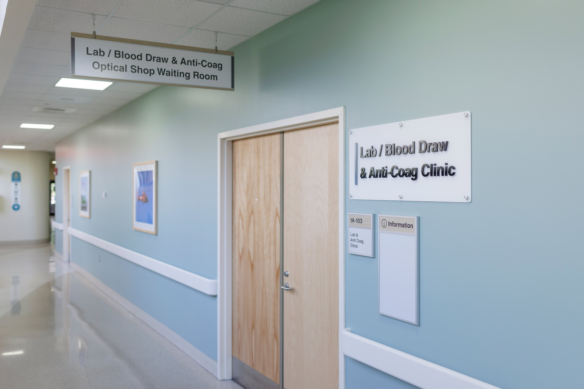
Updatable Directionals & Department Identification
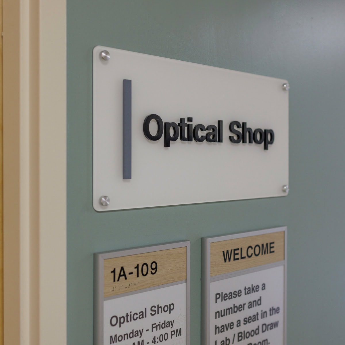
Welcoming Entrances
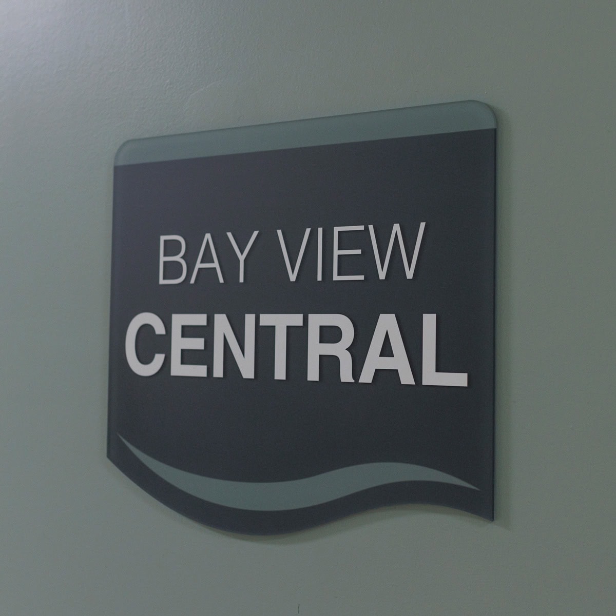
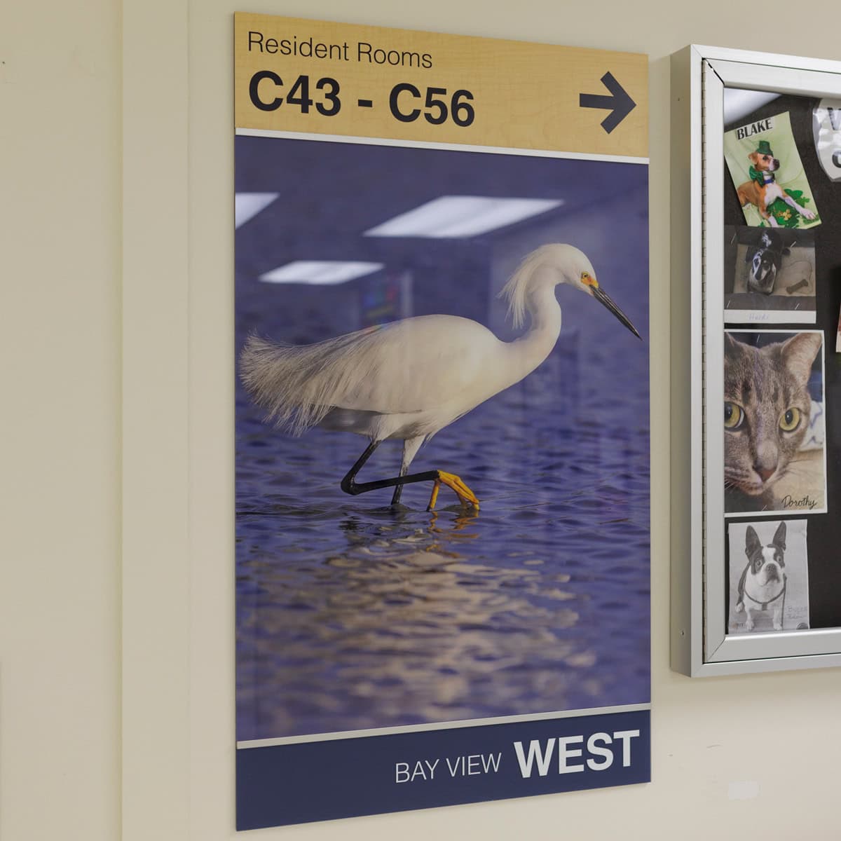
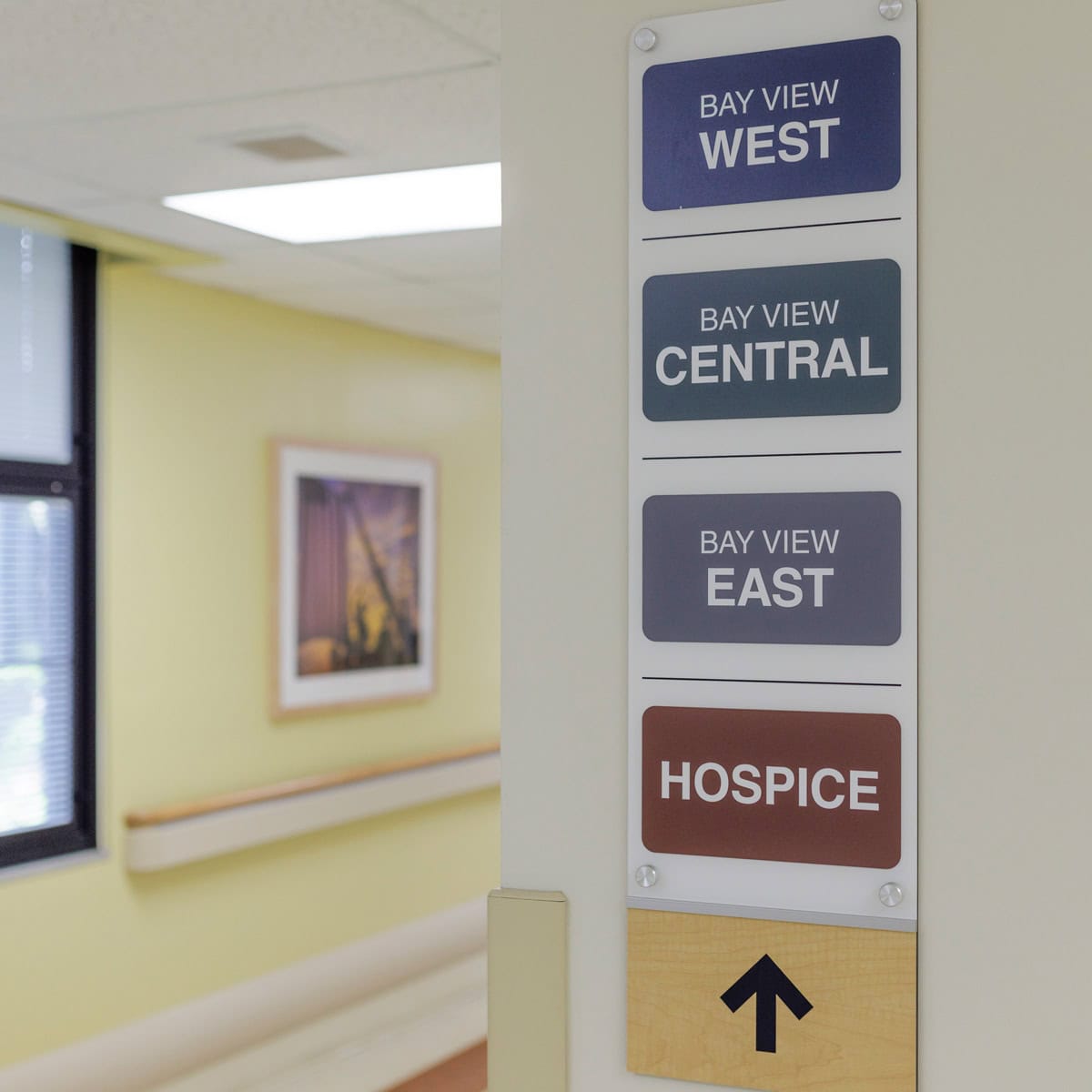
Community Living Center (CLC) Wayfinding & Neighborhood Identification